
Base Station Installation and Phase Center Coordination
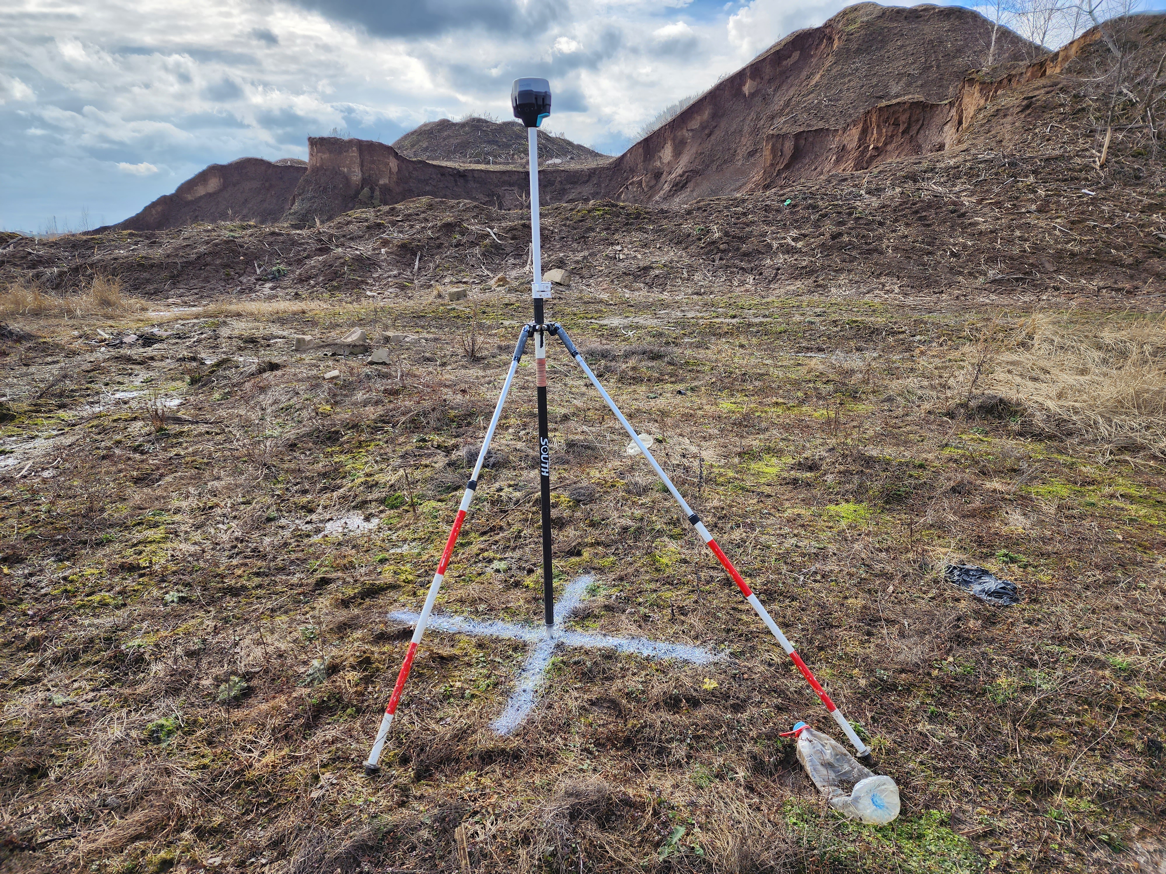
To post-process data from the TOPODRONE DJI AIR 2 PPK using the PC method, a working base station is required. The operating time of the base station should fully include the drone's operating time intervals. The base station is a GNSS receiver that performs static measurements while stationary.
Reach RS2 receiver operating in base station mode.
To perform correct data postprocessing, the following requirements apply to the base station:
- The base station operation time should include the drone operation time
- The maximum distance between the base station and the furthest point of the drone's route should be less than 25 km. To achieve the best accuracy and data quality, it is recommended to install the base station no further than 10 km from the flight location.
- The frequency of GNSS measurements data recording is 1 Hz.
- Base station output file format: RINEX
- Satellite groupings: GPS / GLONASS. Optional: GALILEO, BEIDOU.
- The base station should not move during operation, optimally use a tripod or a milestone with a bipod.
- The base station should be located in a place with the maximum GNSS signal reception, in an open, elevated space, away from houses, hills, power lines, roads and railway tracks.
- The coordinates of the GNSS phase center of the base station antenna shall be coordinated in the coordinate system in which the project was performed
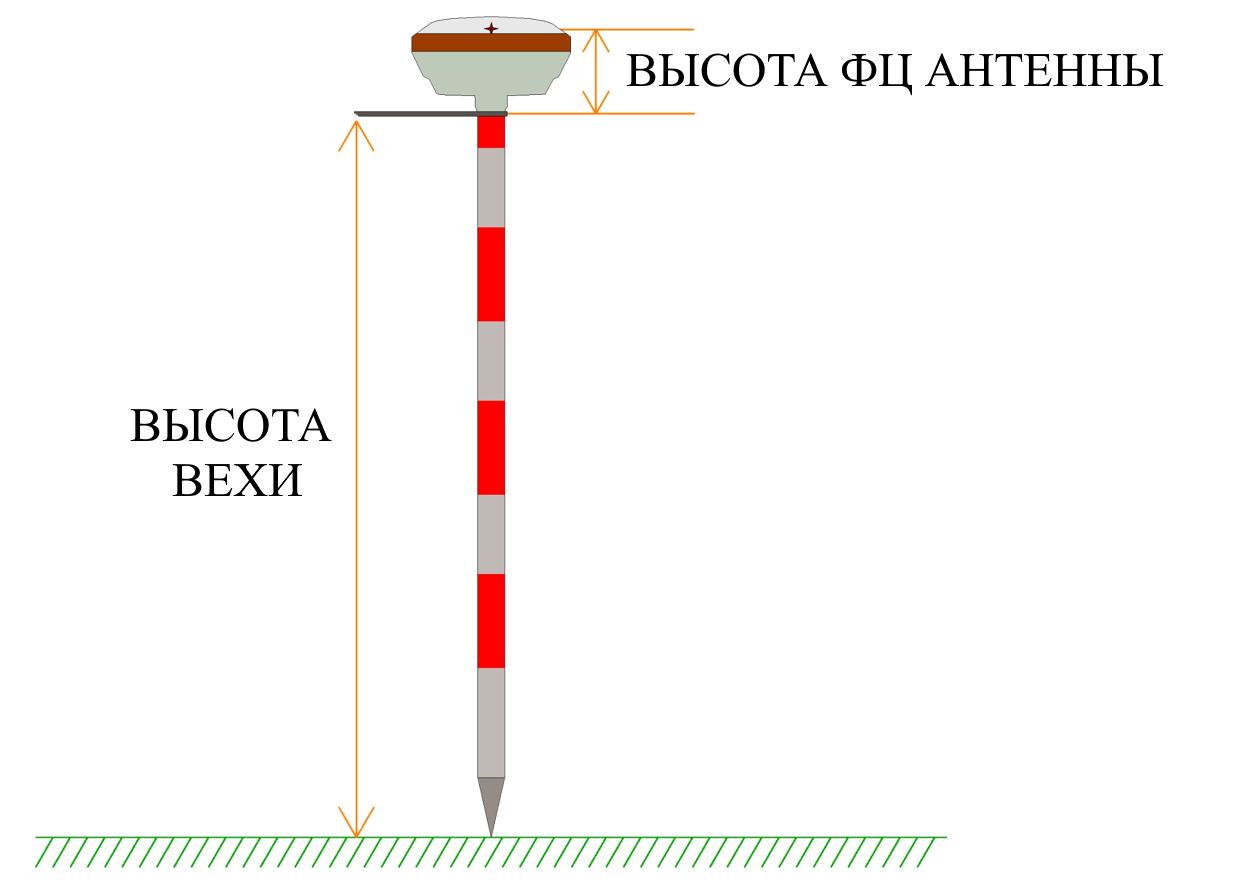
The difference in the height of the milestone and the height of the phase center
When coordinating the phase center of the GNSS antenna of the base station, the height of the milestone and the height of the Phase Center itself should be taken into account,, which is also offset from the lower plane of the GNSS receiver body, should be taken into account.
It has been experimentally established that the use of additional GALILEO and BEIDOU satellite systems reduces accuracy when used in post-processing by the RRK method for moving objects. It is recommended to use GPS/GLONASS.
In case the accuracy of solutions for coordinates of photo centers is not high enough, you should try to leave only GPS.
if the accuracy of the solutions for the coordinates of the photographing centers is not high enough, only GPS should be left.
If you place an identification mark under the base station, then it can be used as a ground control point, with a height less than the high-precision coordinates of the FS antenna of the BS at the height of the milestone and the height of the FC.