Route Planning for TOPODRONE DJI Air 2S PPK
Initially, the DJI Air 2S PPK drone does not have the function of flying along the route in automatic mode. However, with the help of third-party software, flight along the route for the AFS is possible using the technology of "virtual sticks". With this technology, during the flight in automatic mode, it is necessary to constantly maintain radio communication between the control panel and the drone. However, with the help of third-party software, flight along the route for aerial photography is possible using the technology of "virtual sticks". With this technology, during the flight in automatic mode, it is necessary to constantly maintain radio communication between the control panel and the drone.
For planning and executing routes for aerial photography, including terrain bending, the most convenient solution is to use UgCS Pro software for route planning and Litchi for DJI software for their direct execution.
After passing all the above stages, it is possible to fly along routes for aerial photography, including with terrain circumference in the absence of an Internet connection at the facility. However, an internet connection is required to make changes to the route.
| 1. DJI FLY software* | 2. UgCS Pro software | 3. flylitchi.com/hub | 4. Litchi for DJI** software |
|
|
|
|
Route Planning for TOPODRONE DJI Air 2S PPK in UgCS Pro Software
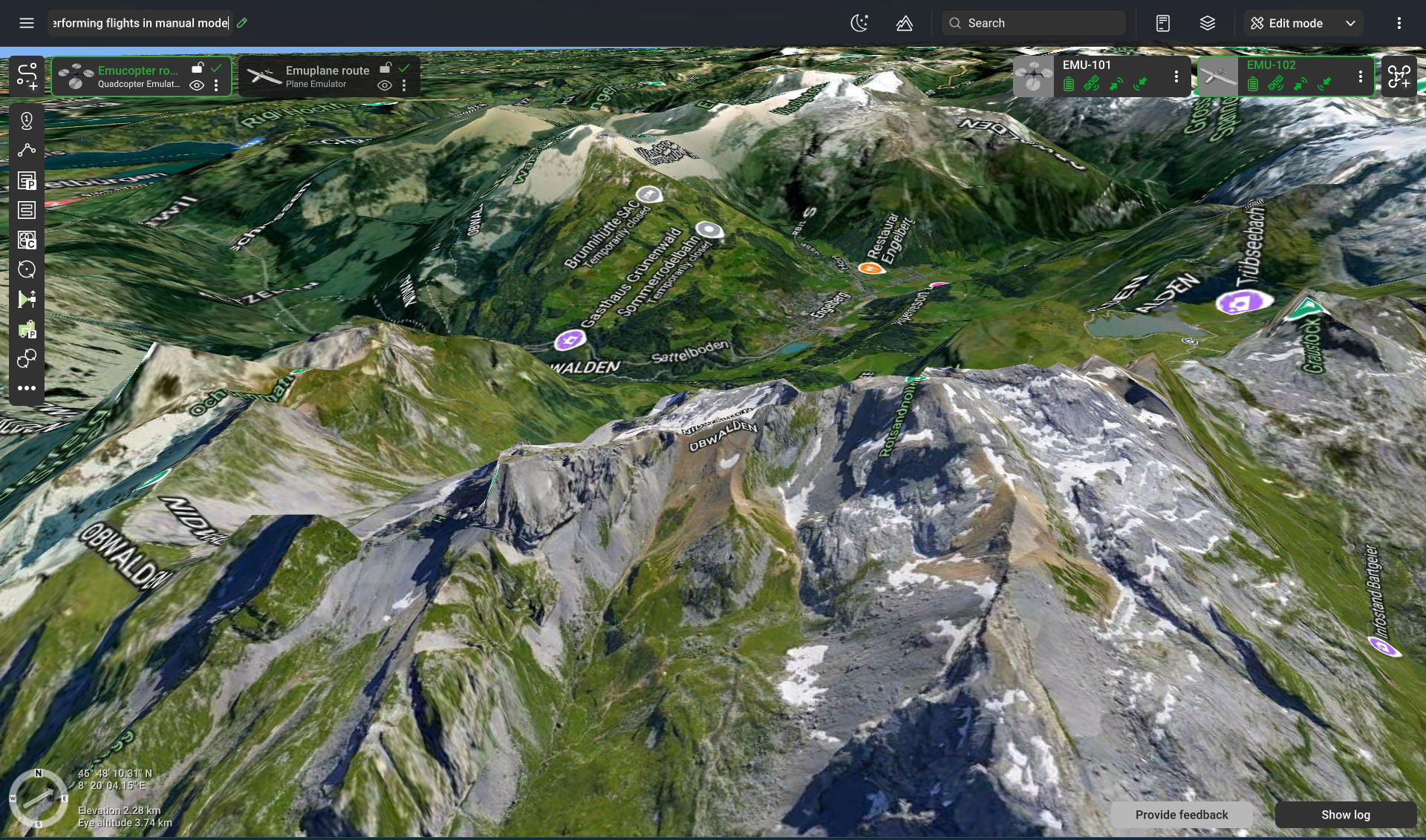
- Run UgCS Pro software. To plan routes for aerial photography with terrain circumference, connect an Internet connection.

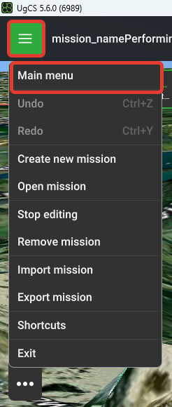
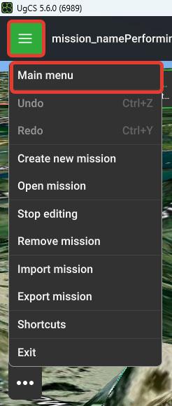
- Click on the icon with three horizontal stripes at the top left. Select the "Main Menu".
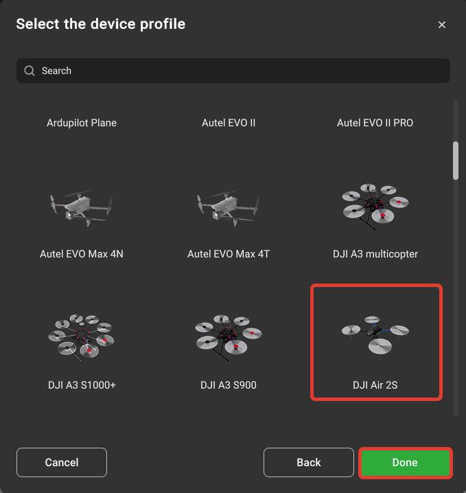
- Go to "Profiles/Vehicles / Import and choose a DJI Air 2S.profile.
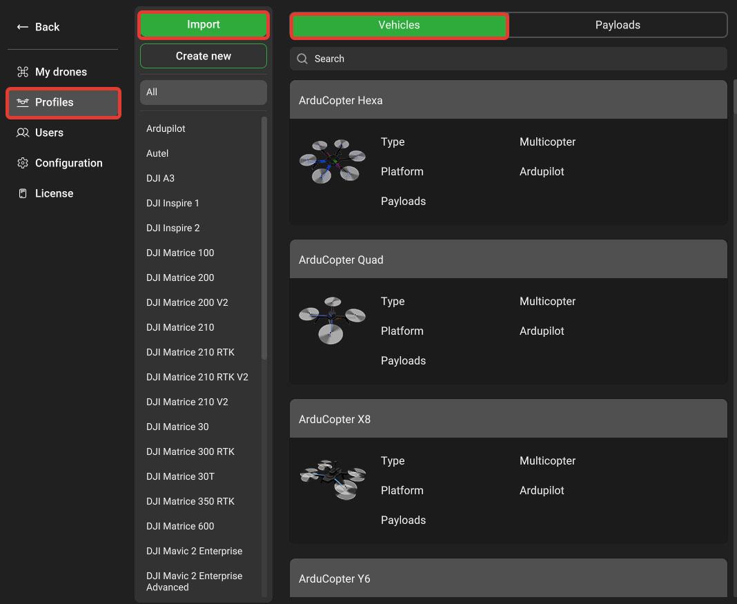
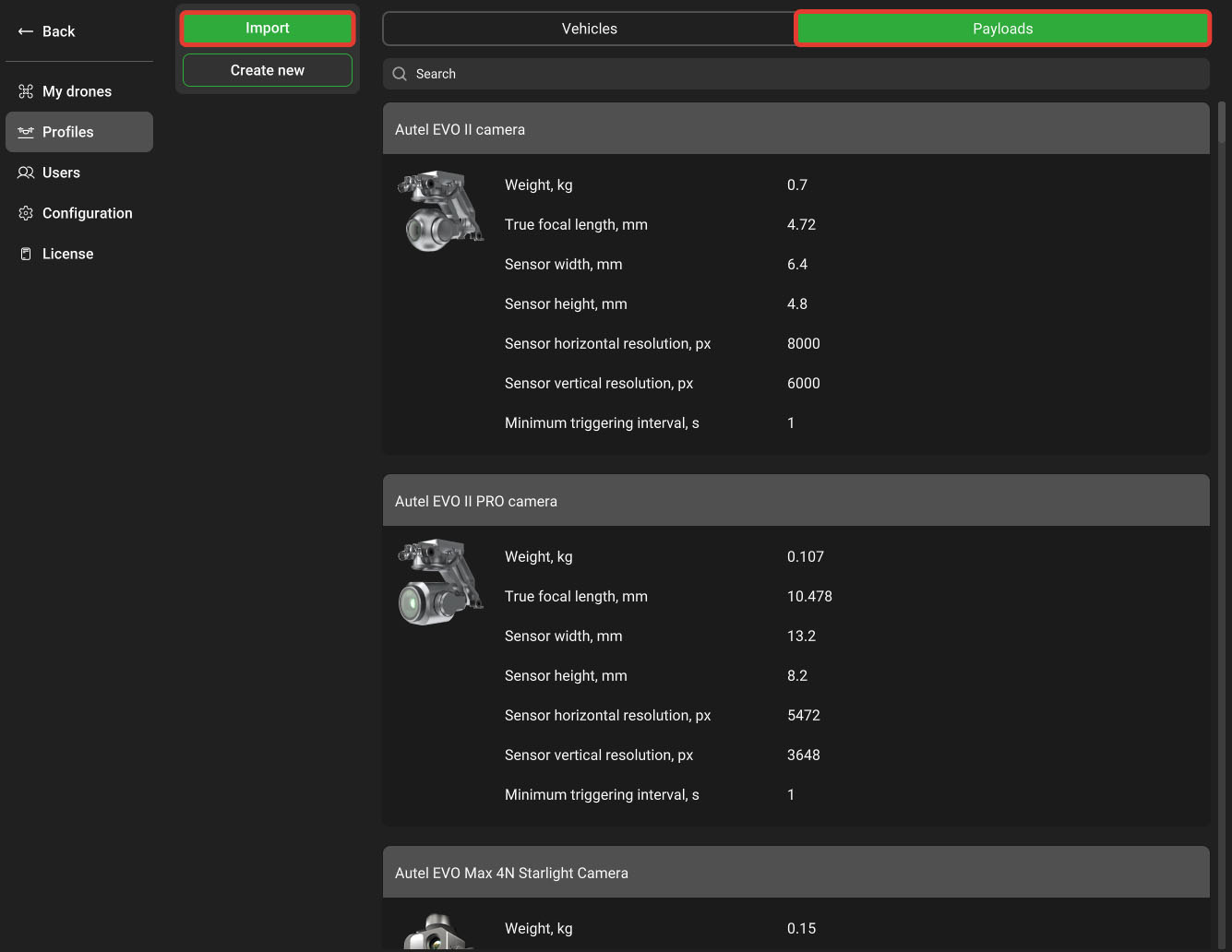
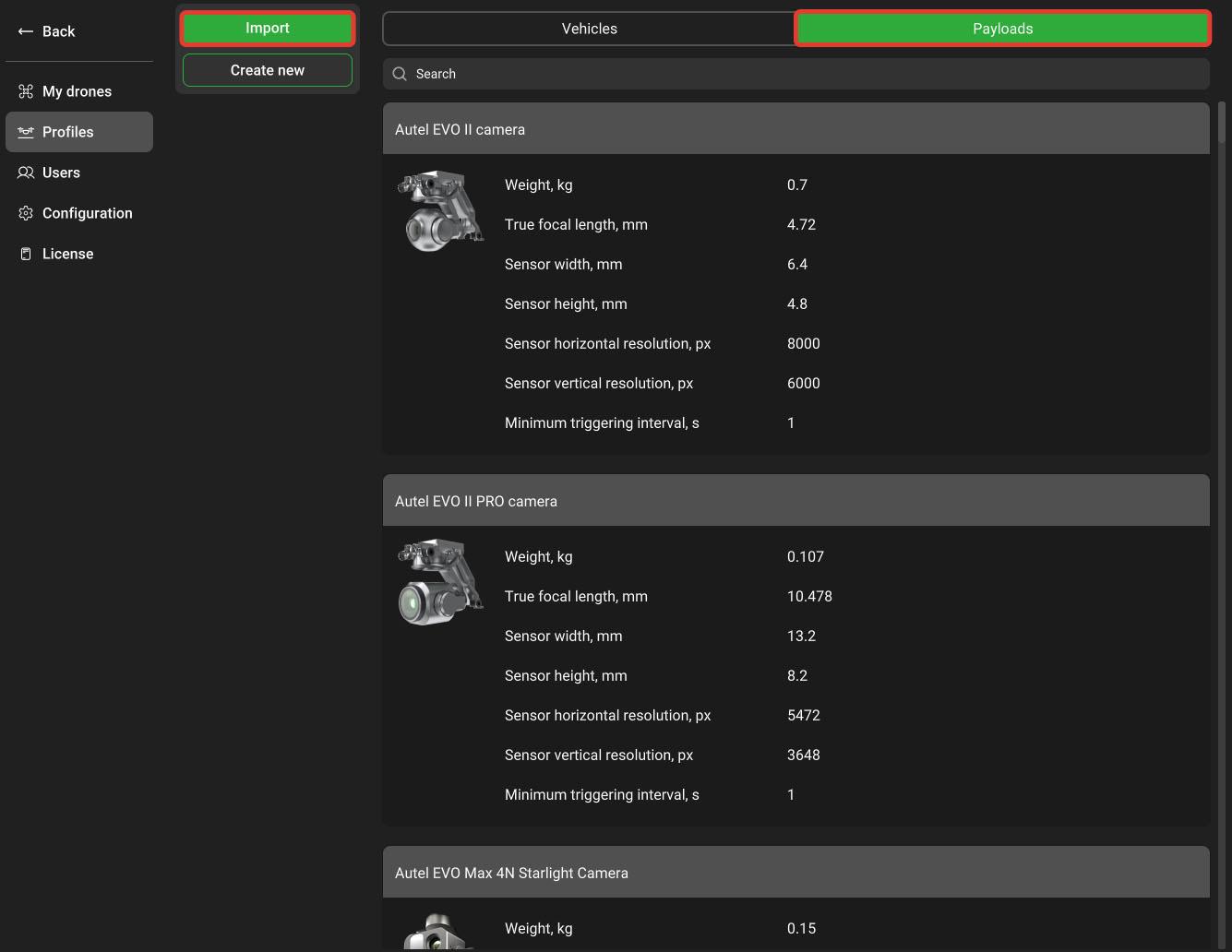
- Go to Payloads/Import and choose a DJI Air 2S p.profile
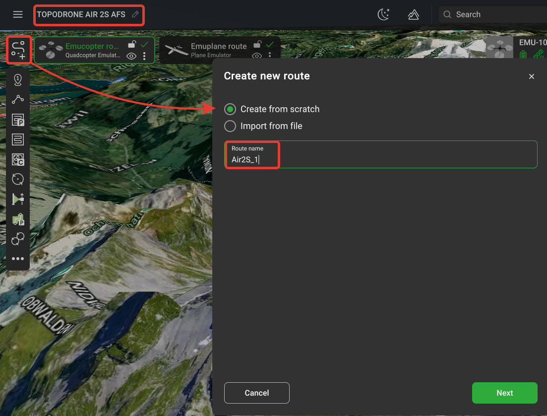
- In the upper-left corner, click on the name of the Mission and enter a name. After that click Create new route and set the route name and press the key Next.

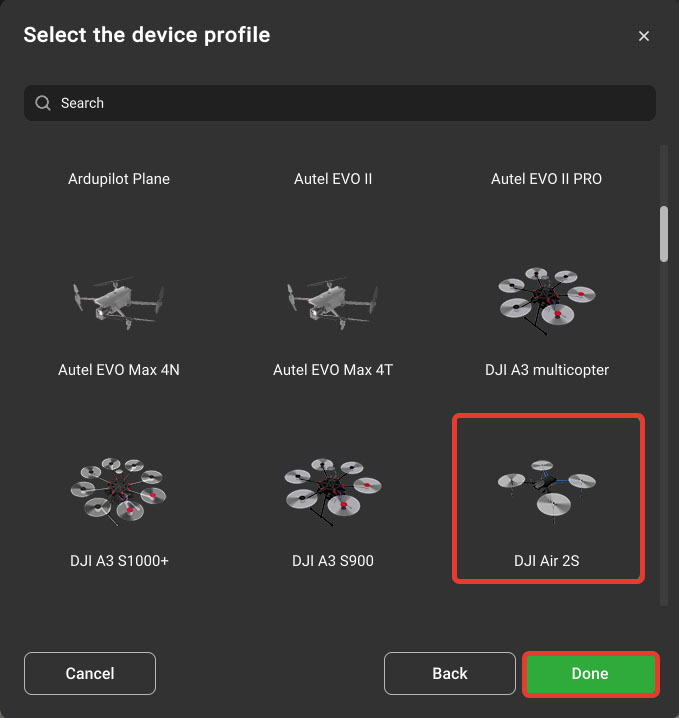
- Select the profile "DJI Air 2S". After that, click "Next".