Maps
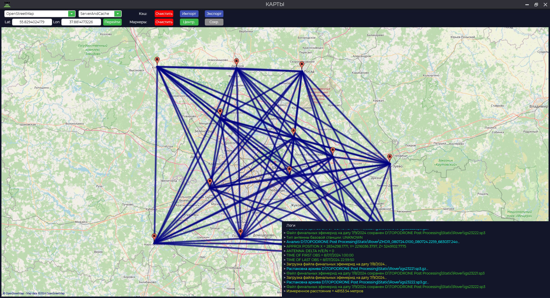
The "Maps" module is designed to display loaded static observations and vectors at all stages of data processing. To launch the module, go to the "Tools" tab and click the "Maps" button. Important: for correct display of observation points, the map window should be opened when loading files. If this condition has not been met, you should re-download the data. An additional function of the module is to measure the distance between two points on the map. To do this, press the "Ctrl" key and select two points in the map area with the left mouse button. The value of the measured distance will be displayed in the log window.