Maps
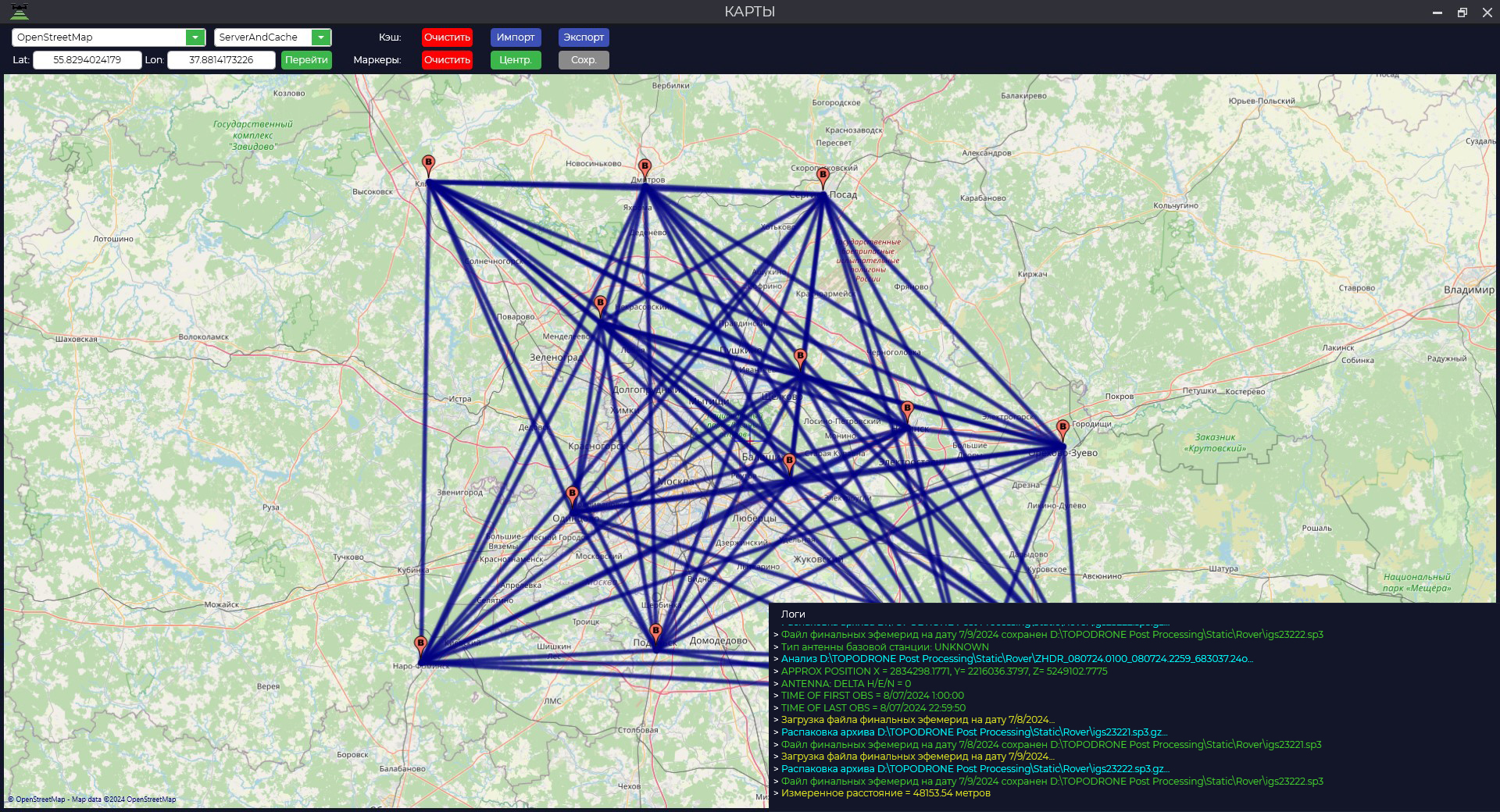
МодульThe "Карты"Maps" предназначенmodule дляis отображенияdesigned загруженныхto статическихdisplay наблюденийloaded иstatic векторовobservations наand всехvectors этапахat обработкиall данных.stages Чтобыof запуститьdata модуль,processing. перейдитеTo воlaunch вкладкуthe module, go to the "Инструменты"Tools" иtab нажмитеand кнопкуclick the "Карты".Важно:Maps" дляbutton. корректногоImportant: отображенияfor пунктовcorrect наблюденийdisplay окноof картыobservation должноpoints, бытьthe открытоmap приwindow загрузкеshould файлов.be Еслиopened этоwhen условиеloading неfiles. былоIf выполнено,this необходимоcondition повторноhas загрузитьnot данные.Дополнительнаяbeen функцияmet, модуляyou -should измерениеre-download расстоянияthe междуdata. двумяAn точкамиadditional наfunction карте.of Дляthe этогоmodule зажмитеis клавишуto measure the distance between two points on the map. To do this, press the "Ctrl" иkey левойand кнопкойselect мышкиtwo выберитеpoints двеin точкиthe вmap областиarea карты.with Значениеthe измеренногоleft расстоянияmouse будетbutton. отображеноThe вvalue окнеof логов.the measured distance will be displayed in the log window.