
Agrowing Basic
Agrowing Basic is available for users with any level of training. The program interface is intuitive, and support and tutorials will help you quickly learn all the functions. The Agrowing Basic software is free of charge and available for download at the following link: Agrowing Basic.
This section describes the processing in AGROWING Basic. For more detailed information on the program itself, please see the user manual for the program itself.
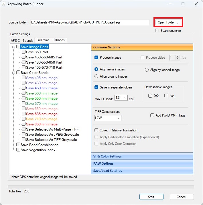
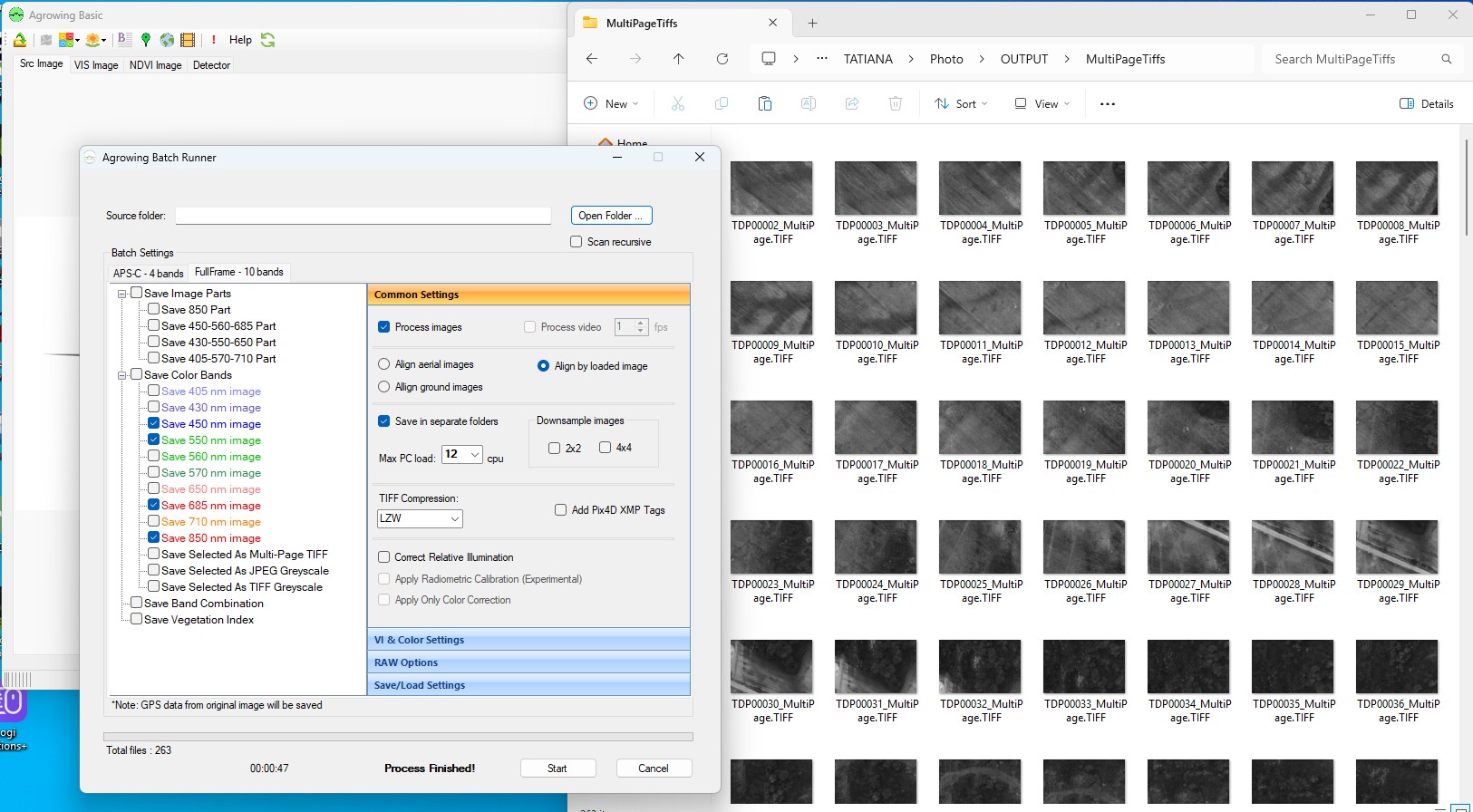
1. Start the AGROWING Basic program. Select “Image Batch Runner” item on the toolbar.
2. Select the path to the directory containing your photos and modified geotags.
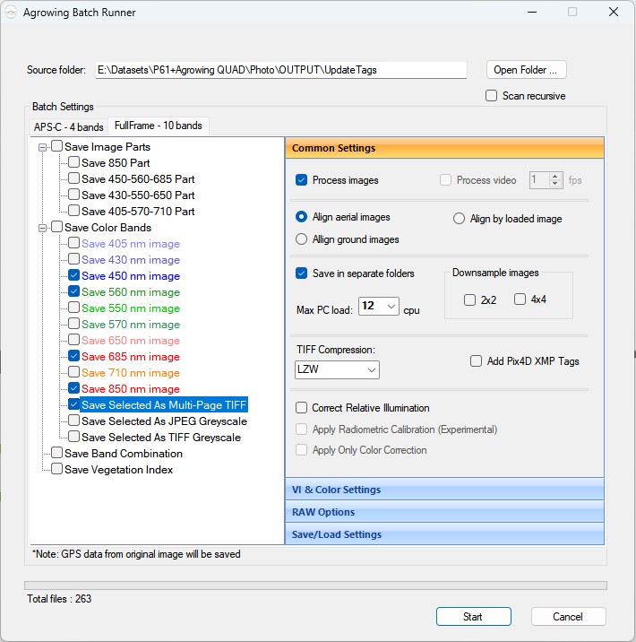
3. Select required spectral channels and type of saving the result. Save Selected As Multi-Page TIFFF allows you to export a multi-layer image containing 4 channels for each image.
General Settings:
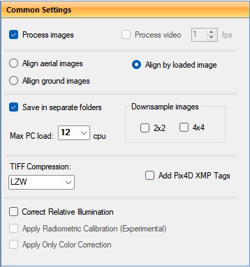
Align aerial image - quite a long process, images are aligned independently.
Align by loaded image - the application selects an random image and applies the result of aligning this image to all other images. The process is fast, but may be less accurate on some images from the same set due to small differences in heights and angles.
Align ground images - aligns images taken from the ground at a close distance of 1-1.5 meters from the object.
Save in separate folders - save results in separate folders.
Max PC load - maximum number of used streams.
Downsample images - reduce resolution of images.
TIFF Compression - select TIFF compression type from the drop-down list.
Add Pix4D XMP Tags - add tags for Pix4D program.
Correct Relative Illumination - correct relative illumination.
Apply Radiometric Calibration (Experementsl) - apply radiometric correction.
Apply Only Color Correction - apply color correction.
4. After making all settings, click the “Start” button. The result of processing are images in .TIFF format with exact coordinates of photo centers in xmp.
No Comments