
Coordinate converter(One coordinate)
This tool allows to convert data from WGS-84 coordinate system to another one using *.prj file of coordinate system, which is loaded into the program database or using calibration file, which was made before in TOPODRONE Post Processing program. For more details see Calibration.
For example, this tool can help you to convert a base station coordinate from local coordinate system to WGS-84 when processing an area in the LiDAR Post Processing module.
In order to convert one point from WGS-84 coordinate system to any other, you should choose Coordinate Converter in the Tools tab, then One coordinate.
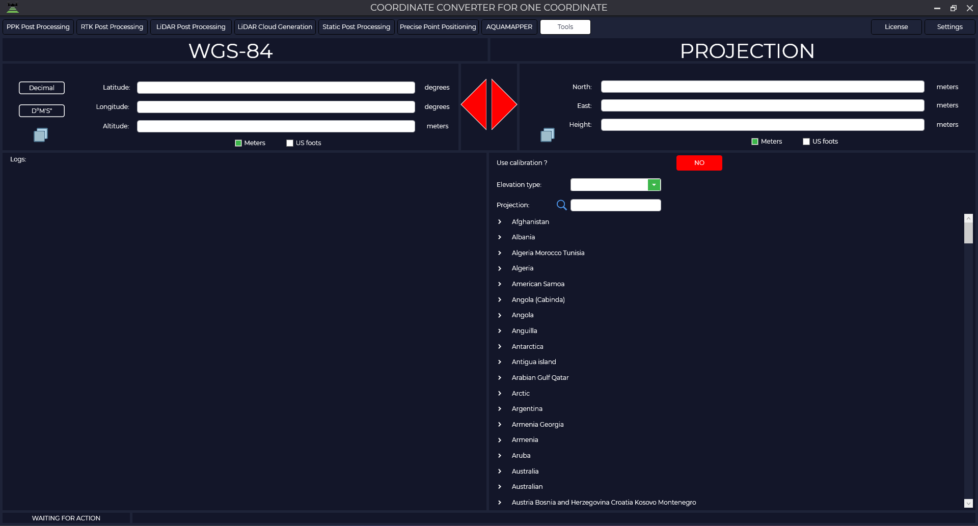
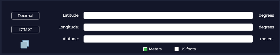
Select the coordinate format (decimal or degrees, minutes, seconds)
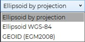
Next, select the desired height type.
Select the required coordinate system. The required *.prj file can be quickly found using the search bar. The coordinates of the source point must be within the area covered by the *.prj file.
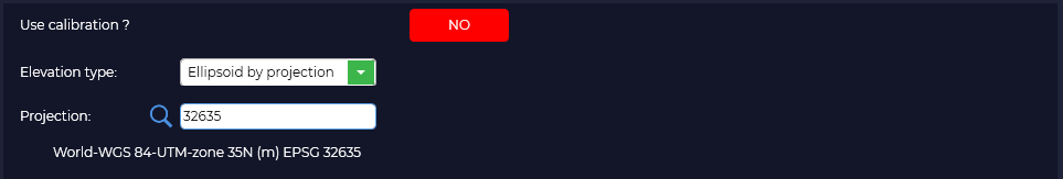
If you have calibrated in the TOPODRONE Post Processing program, press the "NO" button and select your calibration file.
After that, click on the right arrow, which will change its color to green when you hover your mouse cursor over it. Click on the arrow with the left mouse button.

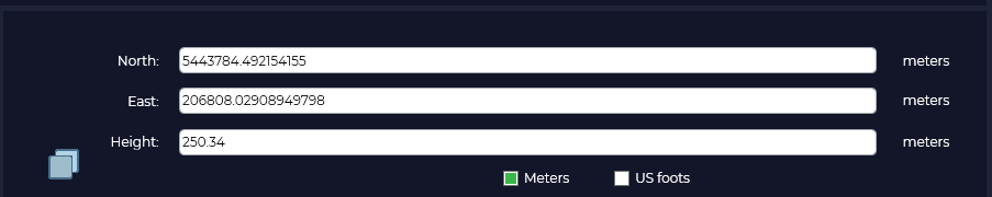
After that, the converted coordinate values of the source point in meters will appear in the right part.
No Comments