
Trim IMR (+GNSS)
You can use the IMR(+GNSS) Trim IMR(+GNSS) tool to eliminate jumps in inertial navigation system (IMU) data when working in conjunction with satellite navigation data.
This tool is useful if after starting trajectory processing the dataset contains an error message - IMU file contains gaps in measurement points! Use the "Trim IMR(+GNSS)" tool to remove the missing sampling time interval.

To start the tool, select IMR(+GNSS) Trim in the Tools, Trim/Stitch tab. Then select the file in *.imr format to be trimmed and the GNSS receiver file.


The program will pre-process the GNSS and if there were any gaps in the IMU data, you will see this on the screen as vertical lines and the designation (Gap).
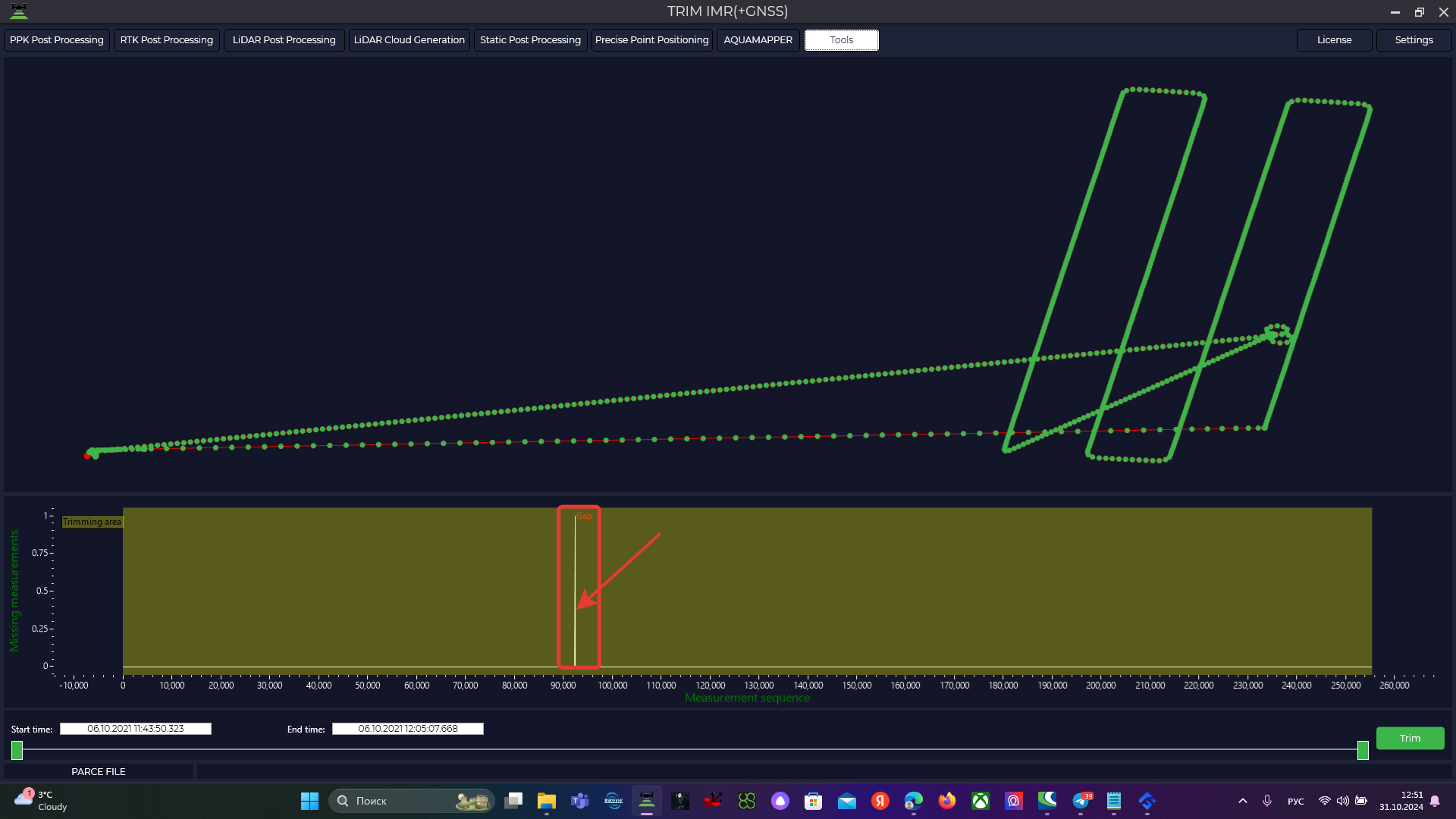
For further correct processing, it is required to exclude outliers from the data.
From the selected file we will need to exclude two skips from processing, therefore the IMU file should be divided into three segments and further processed in three parts. Only one segment is trimmed, so in this case we will need to repeat this procedure three times.
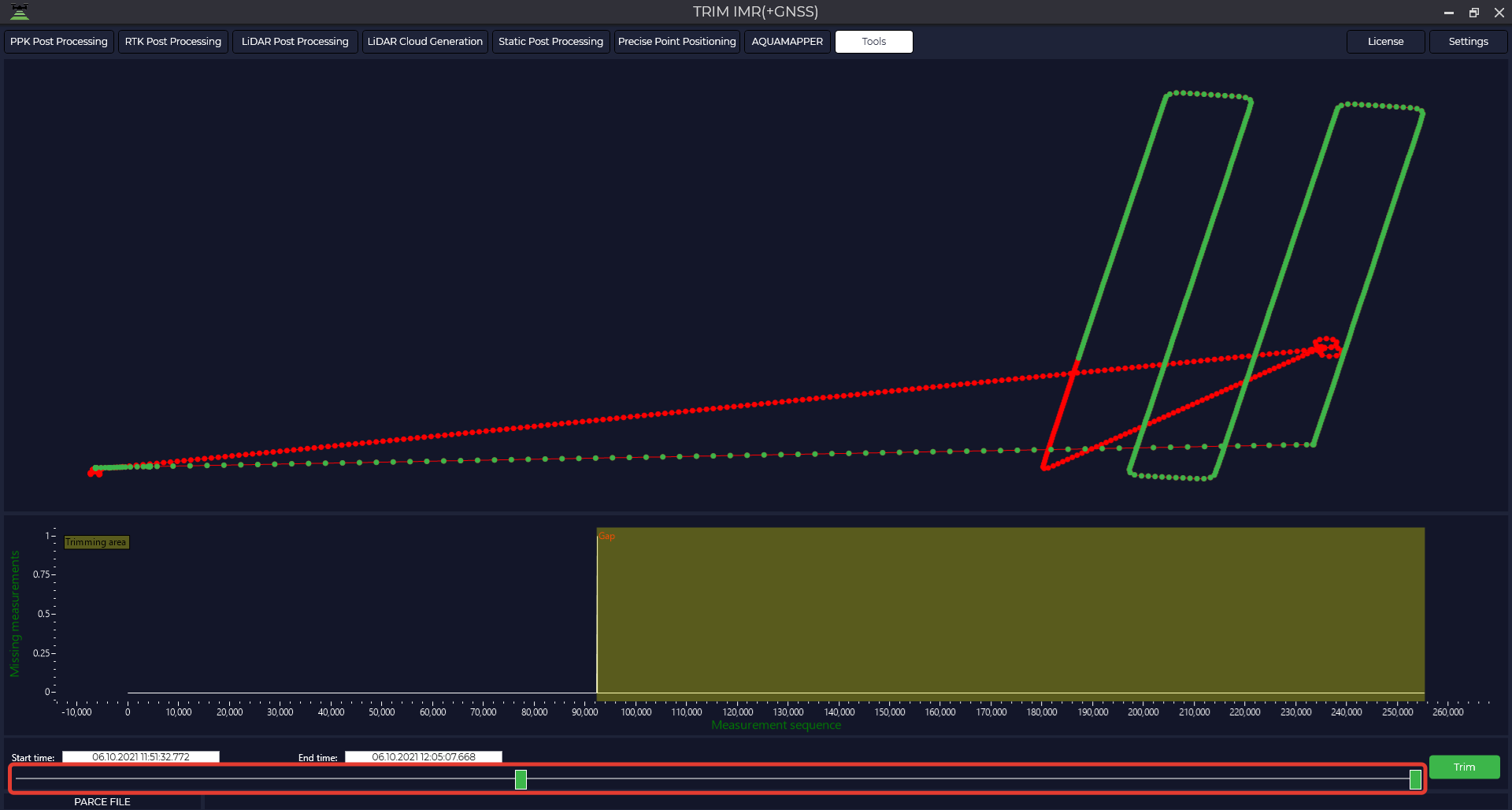
After selecting the desired segment using the sliders at the bottom of the screen, click "Crop". The IMU file will be saved to the folder in its original format at the interval you specified and will be saved to the original folder.
No Comments